Posts Tagged: Alberta

Demystifying LiDAR

November 14, 2022

If you have utilized any type of digital mapping tool, you may have heard the technical term ‘LiDAR’,…

For the Love of Bogs

April 26, 2022

Spring has sprung here at Fiera, and so, like everyone, our thoughts turn to bogs. What are they? How do they work?

Connecting The Dots: habitat connectivity and corridors

March 3, 2022

When most people think of wildlife habitat, what often comes to mind are the particular resource requirements that…

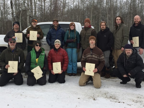
A group of workshop participants pose with their certifications.

Alberta’s First Wildlife Track & Sign Evaluation

February 4, 2022

Fiera Biological recently hosted one of North America’s top wildlife trackers, David Moskowitz, to run a two-day field-based…

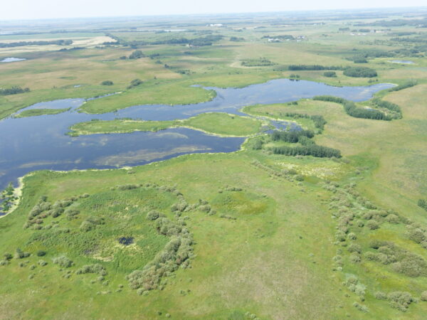
What have we done for wetlands lately?

February 2, 2022

Wetlands perform a wide array of important functions, some highly beneficial from an ecological standpoint, as well as…

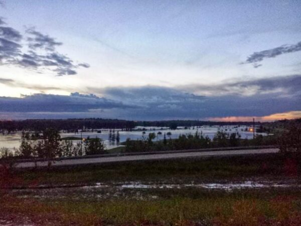
flood mitigation, natural infrastructure, nature based flood prevention, Calgary flood, 2013.

Natural Infrastructure and Flood Mitigation

January 10, 2022

You have already heard us sing the praises of incorporating natural and semi-natural assets (such as wetlands, trees,…

2021 Year in Review Fiera Biological Consulting

2021 Year in Review

December 23, 2021

This year we have plenty of high points to celebrate, but we also have had a few low points that stand out, so we thought we’d change things up little and share a few of each in this 2021

Something to Squeal About

December 6, 2021

Invasive species of all types upset the balance of the ecosystem they inhabit, and feral pigs are no exception. Not only do these animals…

UAV, Riley, Draganflyer X4P, UAV Geomatics, Ecological Geomatics, Riparian Assessments with Drone, Wetland Assessments with Drone, ecology, Drone, processing

Geomatic Applications in Ecology

June 23, 2017

Using Drones and Remote Sensing Techniques to make Habitat Management Decisions! These days it seems everyone and their…

Wetland inventory, wetland condition, remote sensing, UAV, Drone, Satellite imagery, landscape planning, conservation planning, municipal policy, municipal planning, wetland conservation, wetland management, land management, stewardship

Wetland Inventory and Loss Assessment

December 12, 2016

Wetlands are important. You don’t have to take our word for it, lots of other folks agree. Environment Canada,…