What is Remote Sensing and GIS?
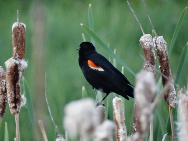
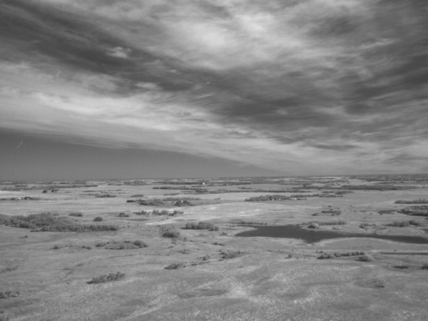
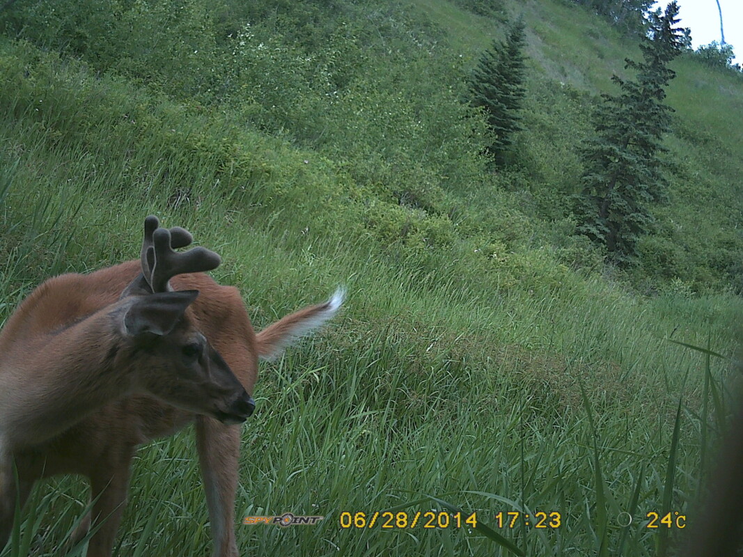
- Remote sensing is the science of obtaining information about an object or area that you are not physically in contact with. It often describes interpreting and analyzing aerial or satellite-based images, but can also refer to wildlife camera traps, acoustic recorders, weather balloons, and telescopes.
- A Geographic Information System (GIS) is a computer-based tool for creating, managing, analyzing, and presenting geographic data. GIS helps us better understand the location, spatial relationships, and distribution patterns of things we are interested in.
Why are Remote Sensing and GIS useful tools for environmental management?
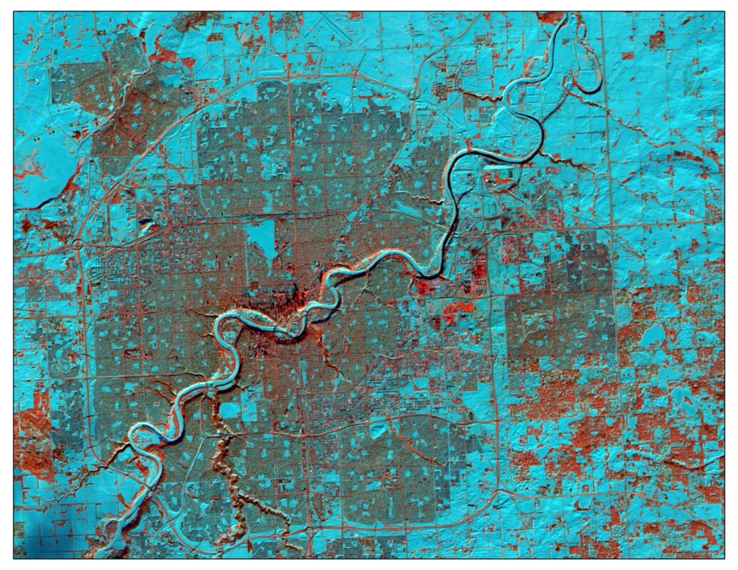
- Landscape patterns that may be significant for the management of wildlife or their habitats can be identified across large areas in a more cost effective way than relying on field work alone
- The availability of archived imagery allows for the assessment of landscape and habitat change through time
- The maps we create can easily and effectively convey important information to our clients and other project stakeholders
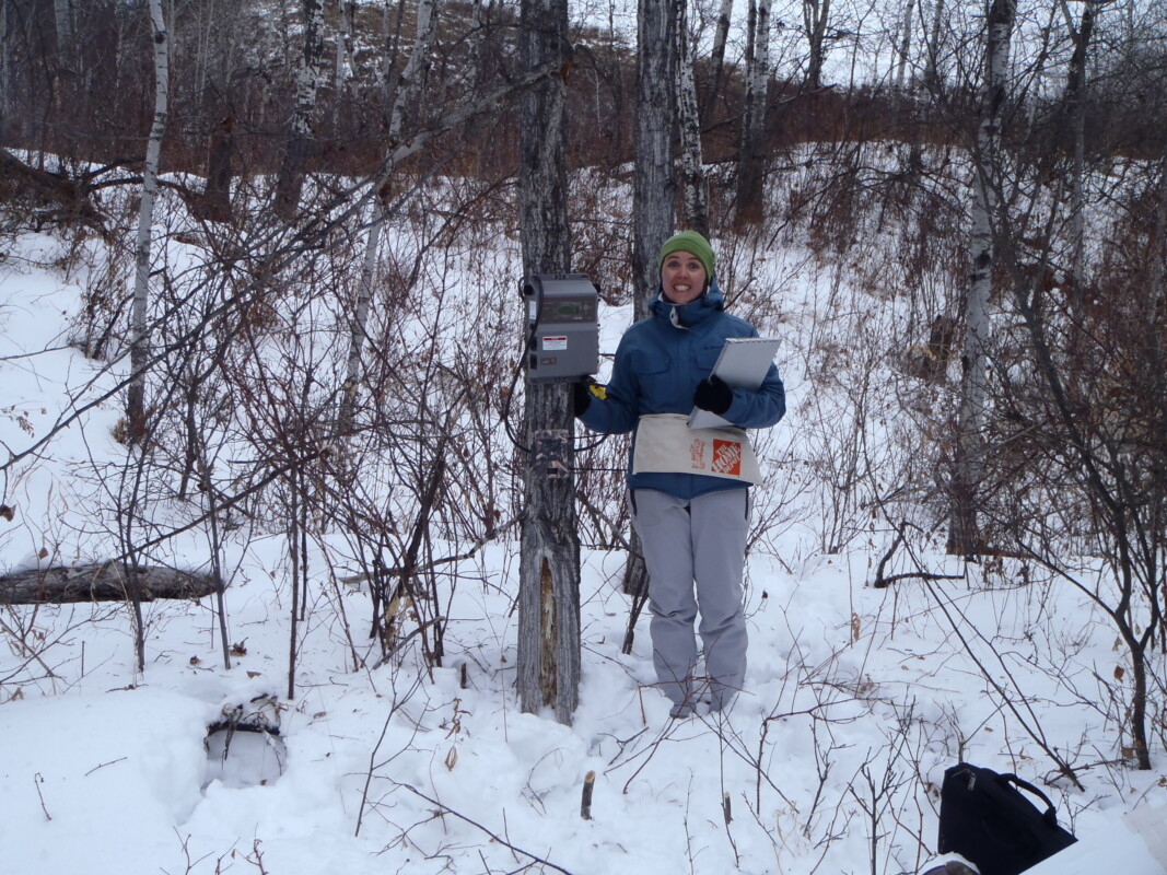
How does Fiera Biological use Remote Sensing and GIS?
1. Creation of land cover and habitat modeling to identify and prioritize sensitive or significant environmental features.
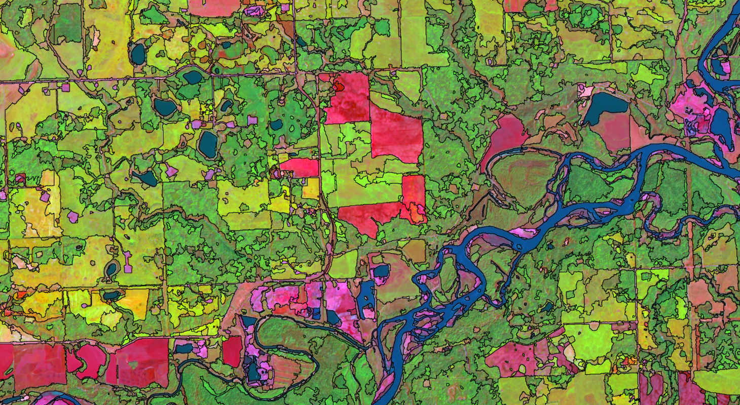
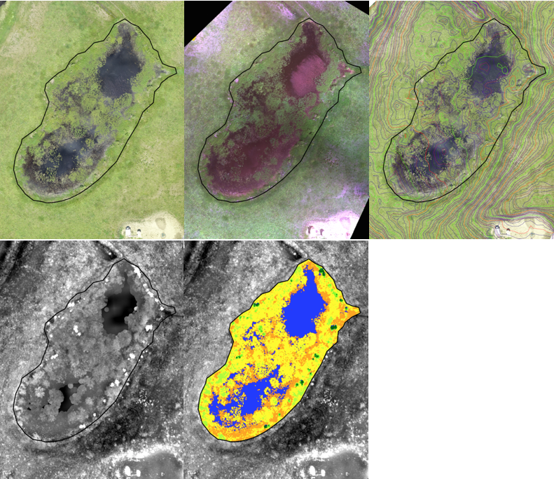
Current and accurate spatial data are critical for reliably mapping and assessing environmental features, and because of this, our Remote Sensing Specialists routinely create land cover inventories from air photographs or satellite imagery.
Existing spatial information, such as reported locations of rare or threatened species or key zones for wildlife, can also be obtained from a variety of sources.
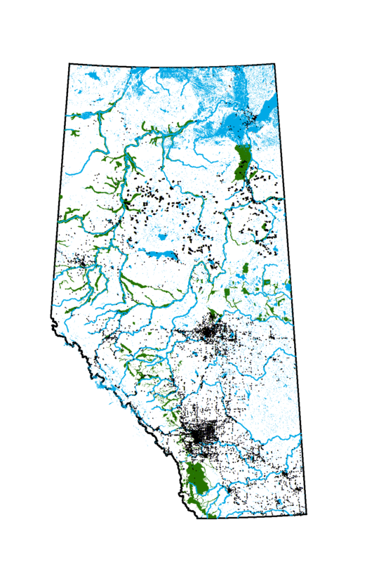
Our team routinely uses these types of spatial data products to map the locations of sensitive habitats and species, as well as to model how changes in land use may impact the occurrence or movement of species. Land managers can then use this information to avoid highly sensitive areas, or to prioritize lands for restoration or special management.


2. Riparian habitat assessments
Riparian areas provide a multitude of ecosystem functions and benefits, including water quality improvement and flood reduction, but over the last century, the loss and impairment of riparian lands in Alberta has been significant.
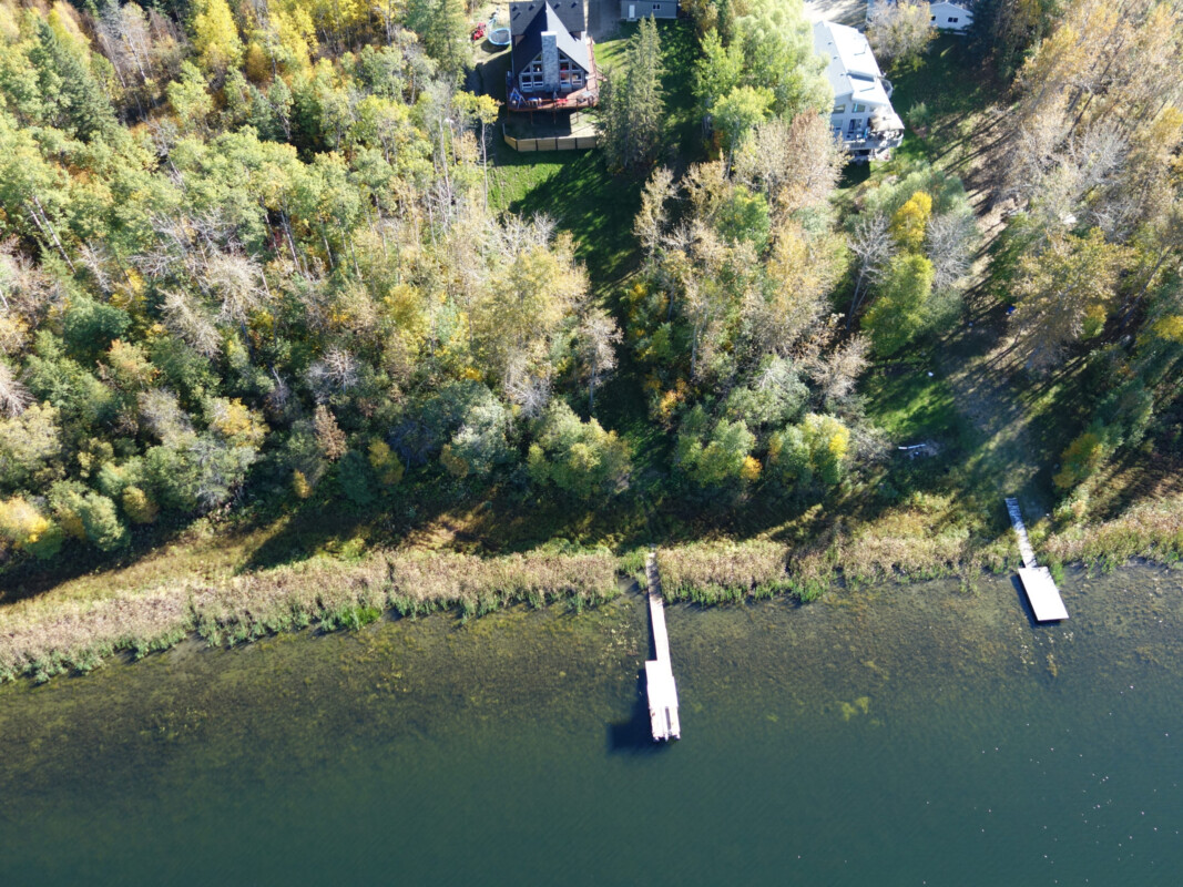
In order to prioritize riparian areas for restoration and to track change in condition through time, Fiera Biological has developed a new and standardized GIS method to rapidly assess the intactness of riparian areas.
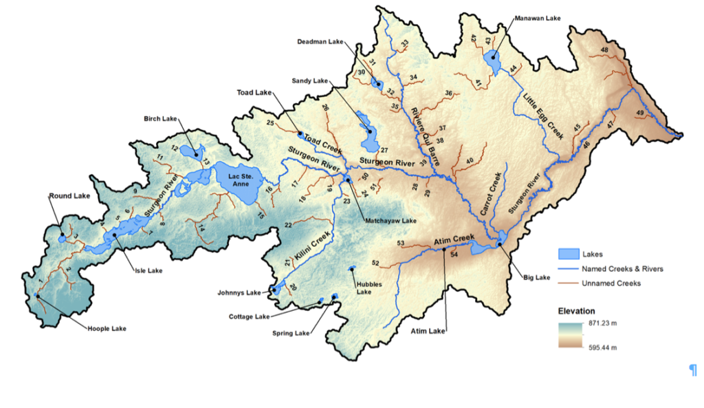
The first step in completing a riparian assessment is to identify the stream and lake shorelines of interest. This can be a single water body or an entire watershed.
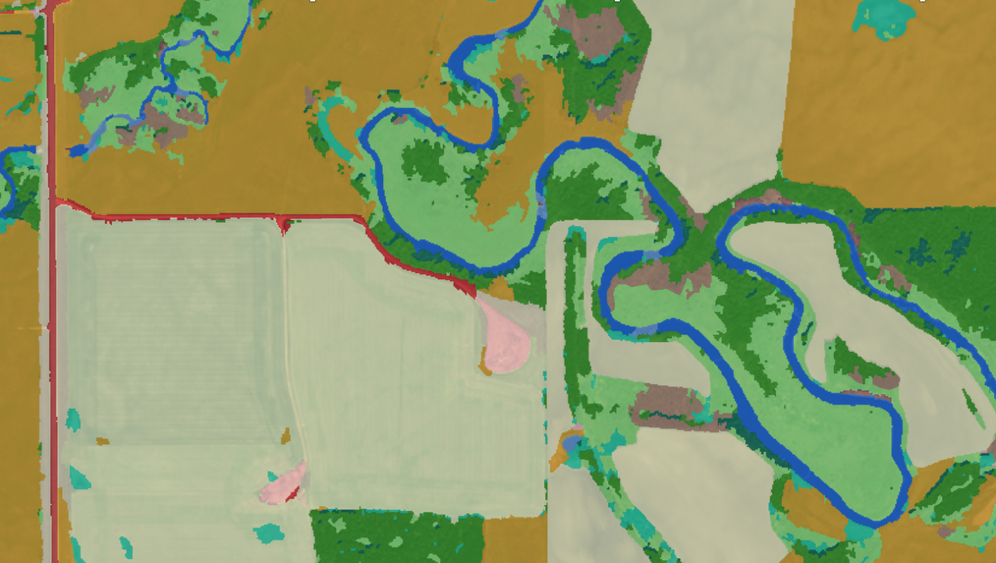
The next step is to create a land cover classification, which is used to assess the type and extent of disturbance present within a 50 m shoreline buffer. We then determine the intactness of a stream based on how much disturbance is present along its shoreline.
The assessment results can be summarized and mapped for the entire watershed, or for an individual stream or lake. This information can then be used to target areas with lower intactness for restoration or conservation.
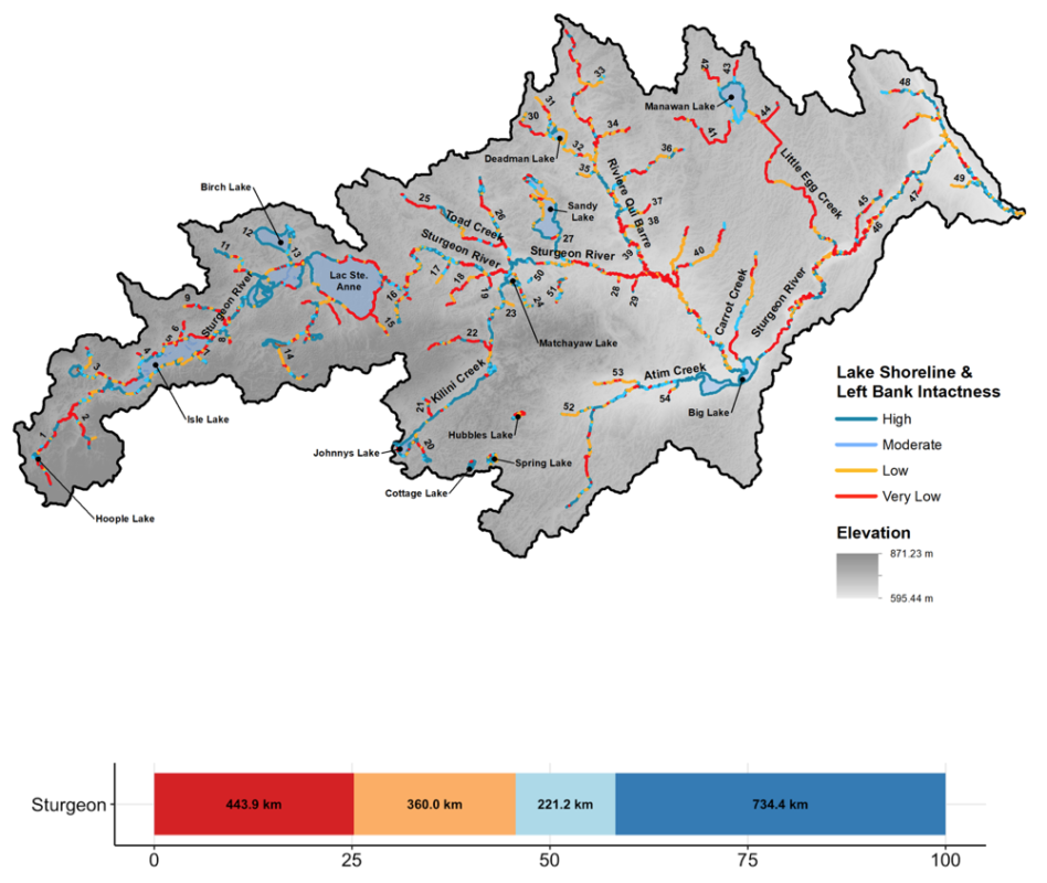
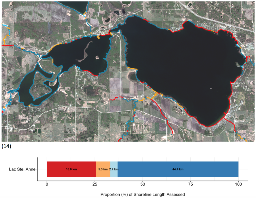
This novel GIS method allows us to effectively assess remote or inaccessible shorelines and to evaluate streams within watersheds spanning thousands of square kilometers. As of November, 2020, we have used this method to evaluate more than 32,700 km of lake, stream, and river shoreline in Alberta, and work is currently underway to do much more. For examples of our riparian assessment see the following links: Modeste Watershed Riparian Areas Assessment; Blindman River Riparian Assessment.
3. Wetland inventories and assessment of wetland condition
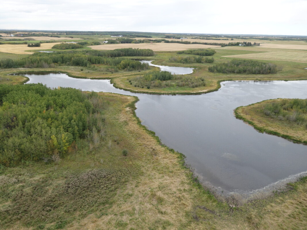
The provincial Wetland Policy aims to conserve, restore, protect, and manage wetlands to sustain the benefits they provide to Albertans. At present, this goal is elusive because the information that is currently available about the location, extent, and condition of wetlands is unreliable, incomplete, or out-of-date.
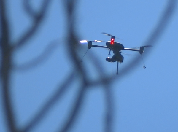
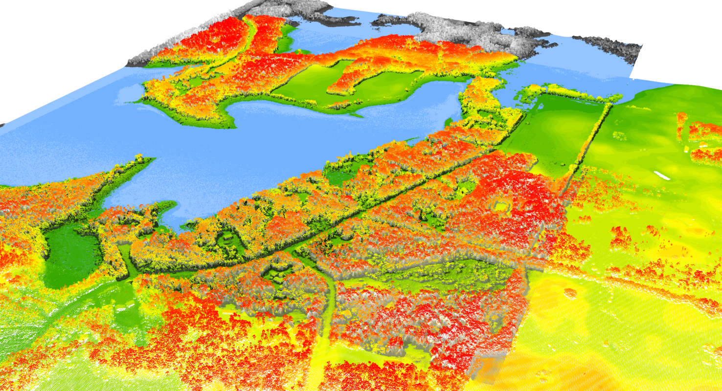
Since 2013, Fiera Biological has been engaged in efforts to improve wetland management in Alberta by developing new, novel, and reliable remote sensing and GIS methods for inventorying and assessing the condition of wetlands. This includes a current and historical wetland inventory and habitat condition assessment for municipalities such as Parkland County and Leduc County, as well as in-house research and development projects that aim to use drone technology to track the condition of restored wetlands through time.
