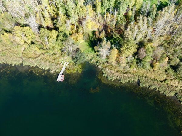
UAVs, also known as drones, have become a popular tool in many sectors for collecting detailed, high-resolution imagery at local scales. Most users of UAVs rely on the spectral information (the colours) in a scene to classify features or to generate relative indices of plant vigour or health. When applied to a single scene at a single point in time, important insights can be learned from analyzing the spectral information, such as the percent cover of a class of interest, or locations where plant growth is more or less vigorous. However, when there is a need to compare several different scenes, or to compare the same scene over time, more and more users are finding that the spectral information can be somewhat inconsistent or unstable, which severely constrains the type of analysis that can be performed and the inferences that can be made. We highlight some of these issues in our recently published paper in the ISPRS Journal of Photogrammetry and Remote Sensing (Cao et al. 2019). In particular, changes in the natural lighting and atmospheric conditions between different flights, or in some cases even during the same flight, introduce uncertainty into the spectral data that is collected, which prevents meaningful and reliable information from being generated.
